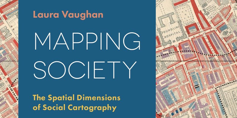
Ben Hughes, an MA Social and Cultural Geography student, shares insights from this year’s Eila Campbell Memorial Lecture given by Professor Laura Vaughan on her recently published book, ‘Mapping Society: The spatial dimensions of social cartography’.
Some people just love maps. Whether it be well thumbed road maps, atlases coloured by finger marks tracing mysterious routes, the rain-stained Ordinance Survey maps so beloved of ramblers, or big wall maps of the world – often with places of specific interest pinpointed, all maps tell a story. As fascinating and important as these physical maps are, they don’t capture – or reflect – the complexity of human existence. Addressing this is what lies behind social ‘cartography’, a technique first developed in eighteenth century to illuminate social issues. As a tool social mapping has grown in importance as a means of highlighting the spatial realities of a multitude of social and human features such as health, class, wealth, race and migration and the spatial distinctions they create.
Building on material from her recently published book, Mapping Society: The spatial dimensions of social cartography, the theme of Professor Laura Vaughan’s Eila Campbell Memorial Lecture spanned the most ‘recent’ 200 or so years of social mapping. She took us on a journey starting with a rare map of yellow fever in eighteenth-century New York to Charles Booth’s famous maps of poverty in nineteenth-century London; from an Italian racial zoning map of early twentieth-century Asmara, to a map of wealth disparities in the banlieues of twenty-first-century Paris.
Reflecting her background in architecture and her current role as professor at the Bartlett School of Architecture, Vaughan brought to life the spatial realities of social divides and inequalities that lie behind the concept of the divided city – a contemporary and timely area of study for human geographers. Drawing on current day human challenges such as climate change and (forced) migration, Vaughan identified the value of some of the emergent open source software packages such WorldMapper and GIS that are increasingly used in social media-led commentaries, around the social polarization of space.
The discussion highlighted many of the specific spatial issues that relate to social cartography. From the practical complexity of reflecting height vs breadth vs depth to ownership, and the inevitable power held by those controlling the production of maps, and so the stories that are portrayed, objectivity, recognizing that maps tend to be built on assumptions, perspectives or ideologies – e.g. is the UK really that big? Why are western nations often colored in calming pastels, when much of Africa and Asia is depicted as dangerous through use of stronger reds and oranges?
Also highlighted was the evolution of ‘non-literal’ maps, used to powerful effect by social geographer Danny Dorling and writer Rebecca Solnit, who sought to reflect human feelings and knowledge of place through maps that, in depicting social rather than physical actualities, result in distortions to the scale and shapes of physical places that we are all so used to.
It was telling that the discussion concluded with reflections on the increasing dominance of multi-national corporations such as Google, who through deployment of new satellite technologies are increasingly powerful in gathering data that is open to misuse and manipulation. With current algorithms able to instantly track and reflect your personal profile, Vaughan concluded with a note of both warning, that there is undoubtedly potential for an invidious market control, and hope, that these same technologies offer potential for counter-mapping to re-balance this.
